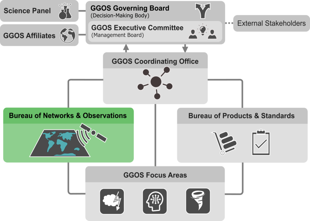
BNO – GGOS Bureau of
Networks and Observations
Overview
The Global Geodetic Observing System (GGOS), with the support of the IAG Services, provides measurements of the static and time-varying gravitational field, Earth rotation and the shape of the Earth surface using geodetic and gravimetric instruments located on the ground and onboard spacecraft. Progress in technology, integration of results from different techniques, and improvements in modeling capabilities have placed us at the threshold of making very significant advances for science and societal benefit. We are at the stage now where measurements need to become more accurate than a part per billion in order to advance our understanding of the underlying processes that are causing global change. Mass transport in the global water cycle, sea level, climate change and crustal deformation associated with geohazards are examples of particularly demanding applications of geodetic and gravimetric measurements.
All these measurements require a common reference frame with the same precision across techniques, based on the Global Terrestrial Reference System and the Unified Height System. Fortunately, technology that is now being implemented and envisioned has stepped up to meet these needs. GGOS is designed to assimilate the individual observations and deliver models in a consistent frame with the highest precision possible.
The Bureau of Networks and Observations supports the development of strategies to design, integrate and maintain the fundamental infrastructure in a sustainable way to satisfy the long-term (10-20 years) requirements identified by the GGOS Science Panel. Primary emphasis must be on sustaining the infrastructure needed to maintain the evolving global reference frames, while at the same time ensuring the broader support of the scientific applications of the collected data. Coordinating and implementing the GGOS co-located station network is a key focus for the Bureau.


