What is Geodesy?
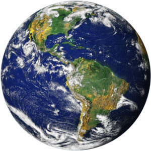
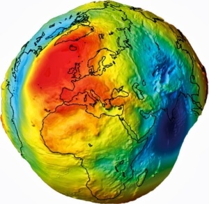
Geodesy is the science of determining the shape of the Earth, its gravity field, and its rotation as functions of time. The essential basis of Geodesy are stable and consistent geodetic reference frames, which provide the fundamental layer for the determination of time-dependent coordinates of points or objects, and for describing the motion of the Earth in space. With modern instrumentation and analytical techniques, Geodesy is capable of detecting time variations ranging from large and secular scales to very small and transient deformations – all with increasing spatial and temporal resolution, high accuracy, and decreasing latency.


