IGETS – International Geodynamics and Earth Tide Service
Objectives
The International Geodynamics and Earth Tide Service (IGETS) supports the monitoring of temporal variations of the Earth gravity field through long-term records from ground gravimeters, tiltmeters, strainmeters and other geodynamic sensors.
Since 2015 IGETS continues the activities of the Global Geodynamic Project (GGP, 1997 -2015) in supporting geodetic and geophysical research activities using superconducting gravimeter (SG) data within the context of an international network. IGETS continues the activities of the International Center for Earth Tides (ICET), in particular, in collecting, archiving and distributing Earth tide records from long series.
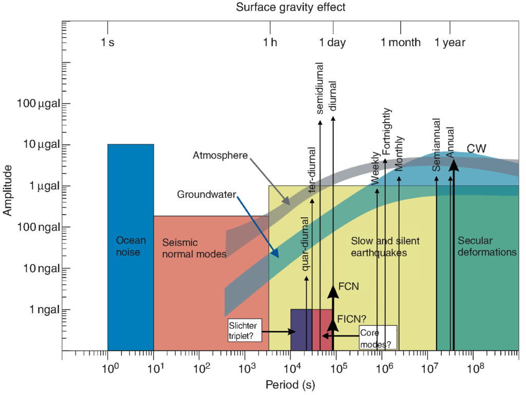
Specifically, the exceptional long-term stability and high sensitivity of the superconducting gravimeters make these time series unique throughout a wide period range, from 1 second to several years, covering a variety of topics in geosciences such as normal modes, mantle rheology, tides, solid Earth–oceans–atmosphere interactions, hydrology, and Earth rotation (Figure 1).
Figure 1: Characteristics of geophysical phenomena observable by SGs
Observation Network
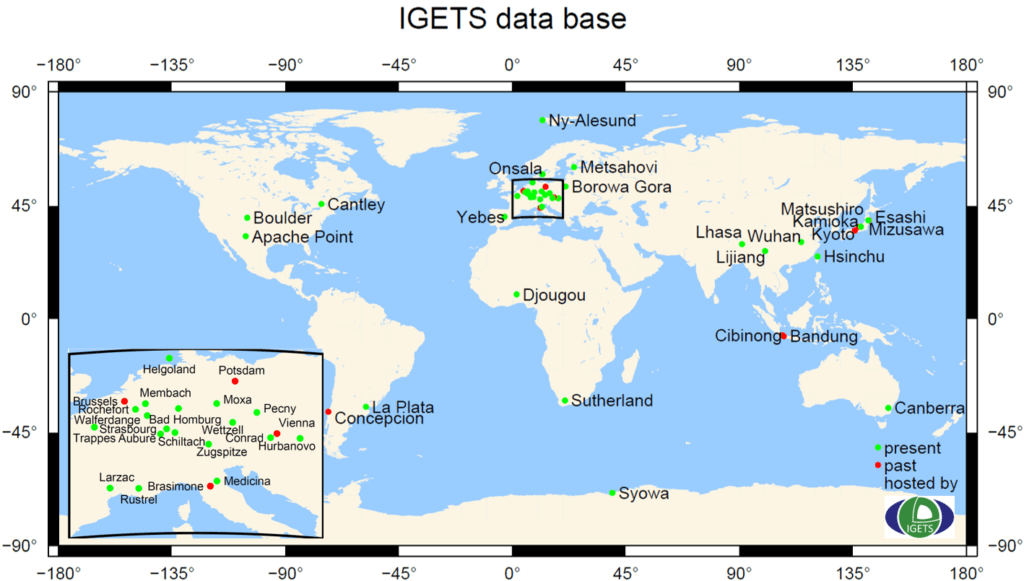
IGETS started based on the GGP with a dataset from 32 different stations worldwide. The observation network of today comprises 47 stations some of which recording continuously already several decades (Figure 2). The data are collected and stored in the IGETS data base at the Information System and Data Center for geoscientific data (ISDC) at GFZ German Research Centre for Geosciences.
IGETS offers a DOI assignment by the research repository of GFZ Data Services. This guarantees best practice with regard to open data policy. The visibility and usage of IGETS has been steadily increased to almost 750 registered users.
Figure 2: Map of the stations contributing to the IGETS SG data base.
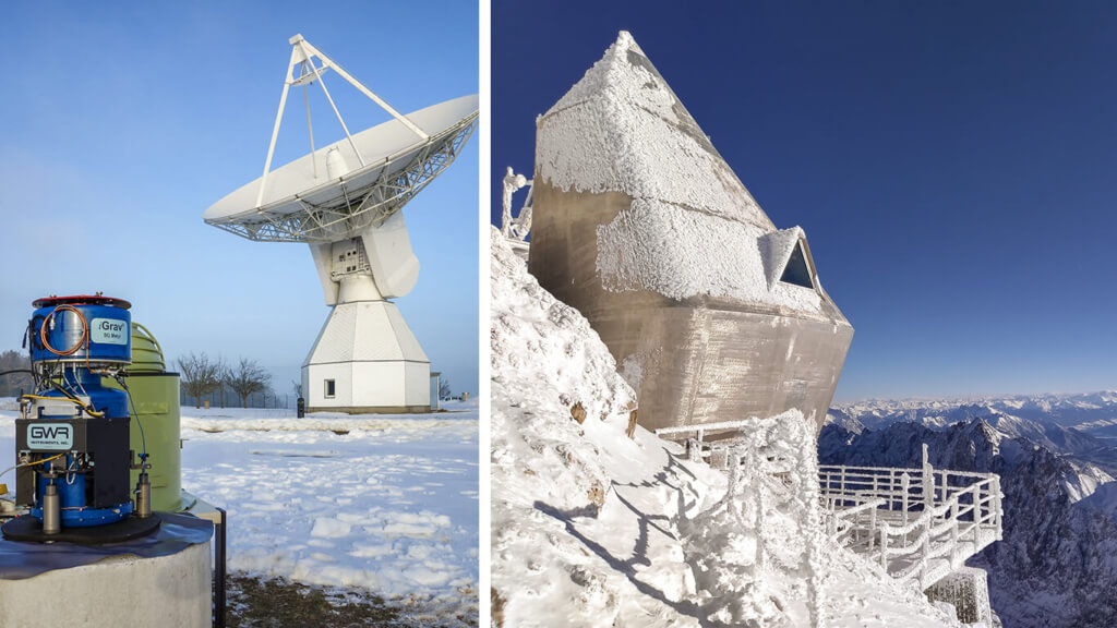
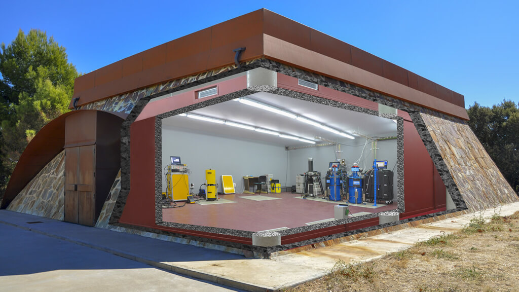
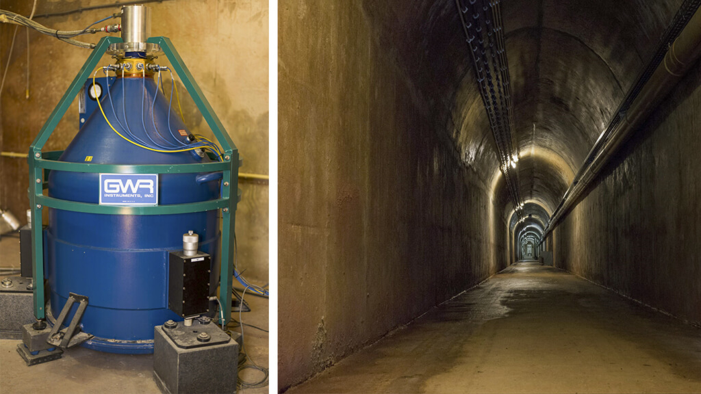
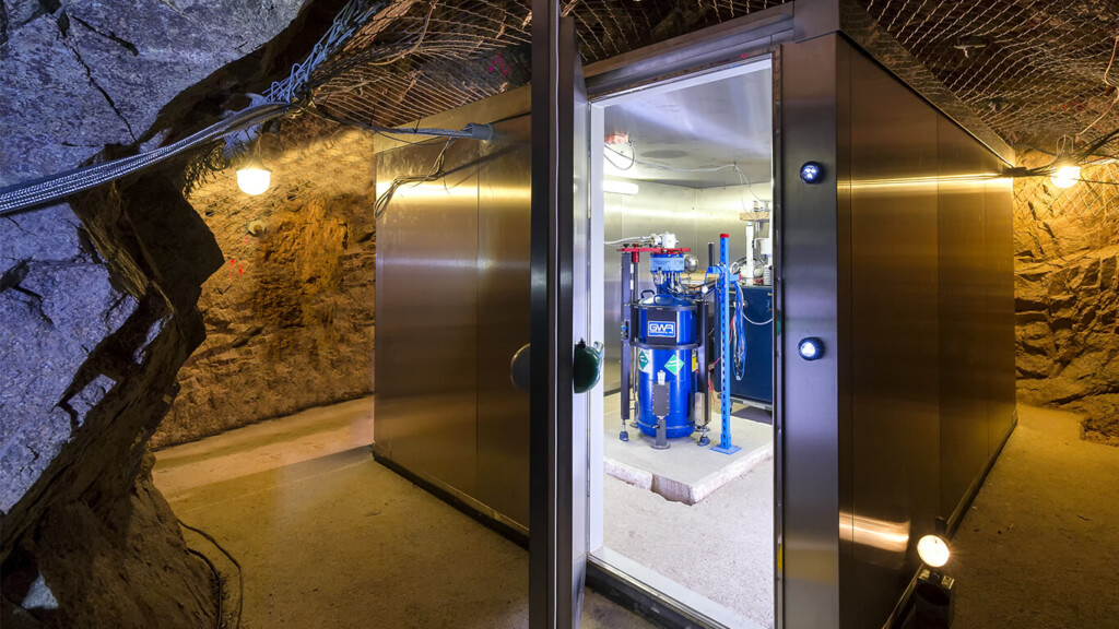
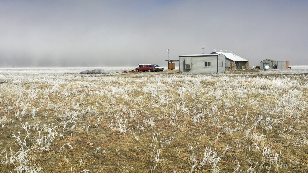
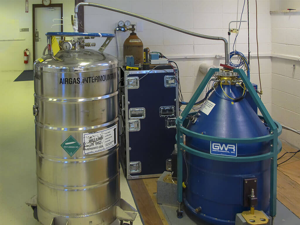
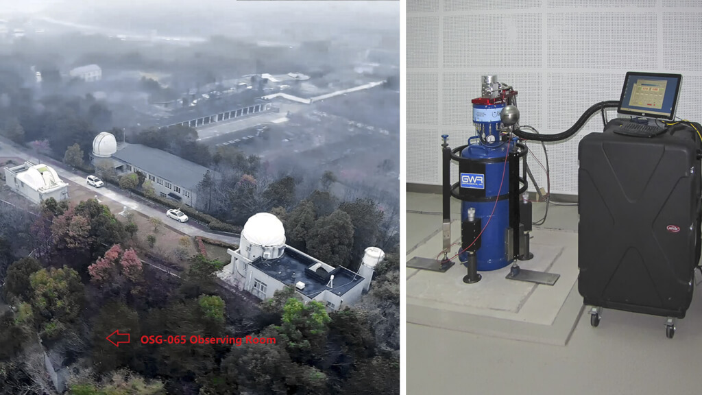
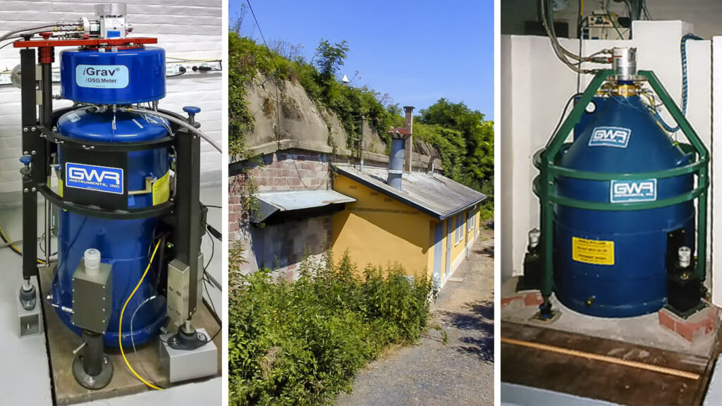
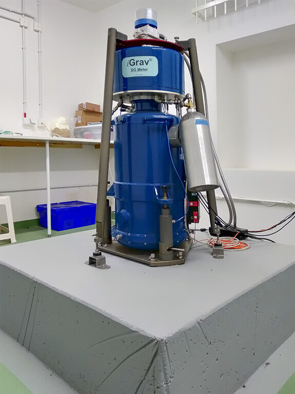
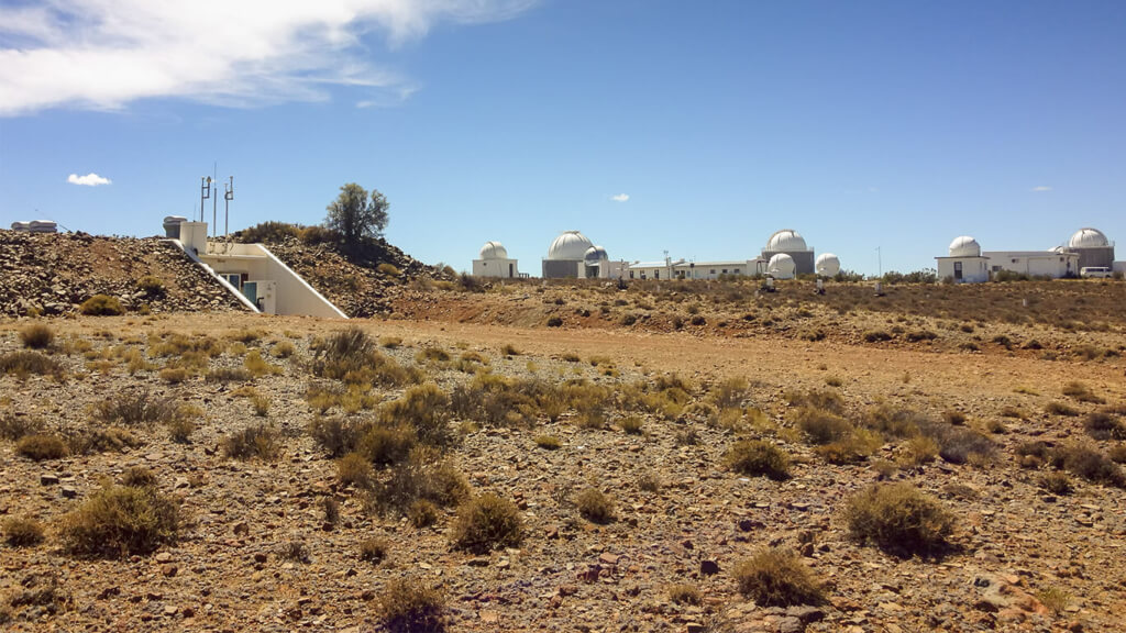
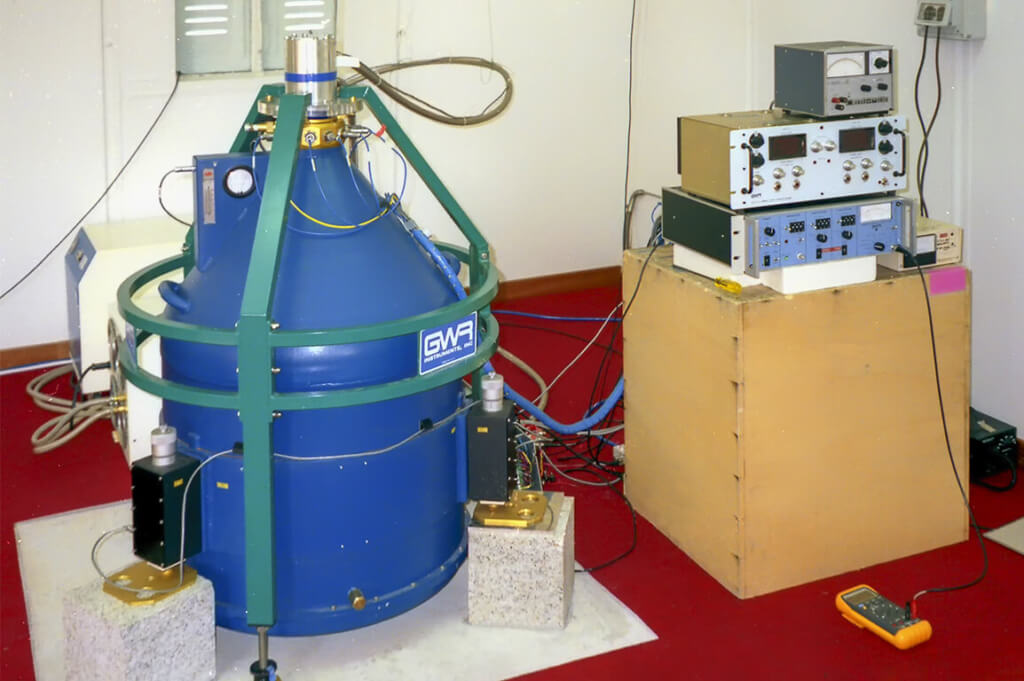
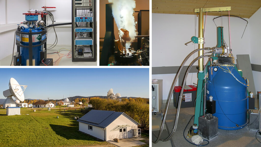
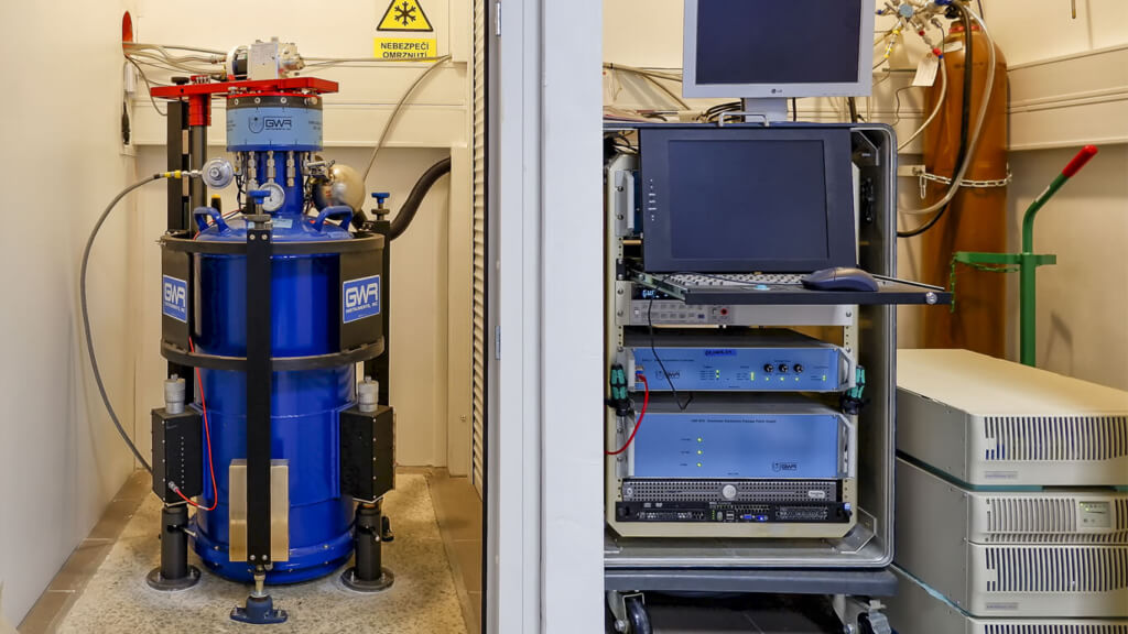
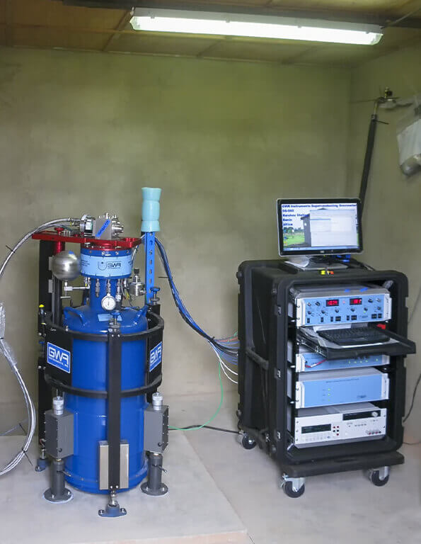
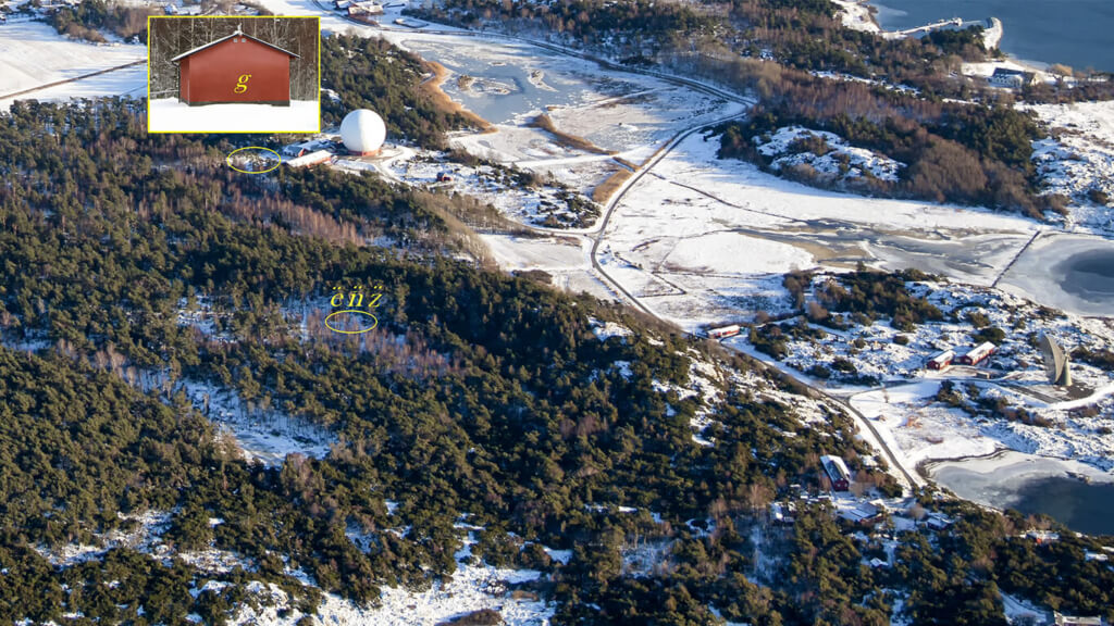
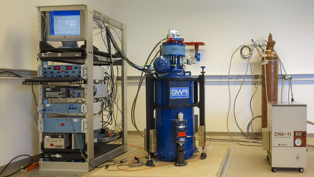
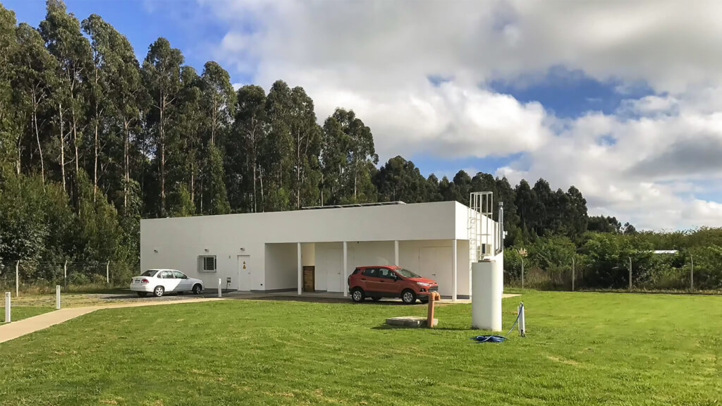
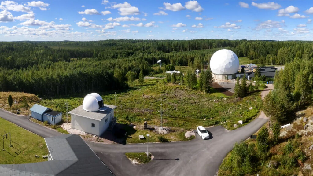
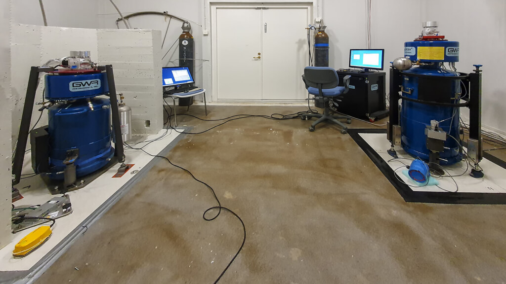
Gallery 1: IGETS stations and instruments
Products
The products hosted at the IGETS data centers are:
- Level-1: Raw gravity and local air pressure records sampled at 1 or 2 seconds, in addition to the same records decimated at 1-minute samples;
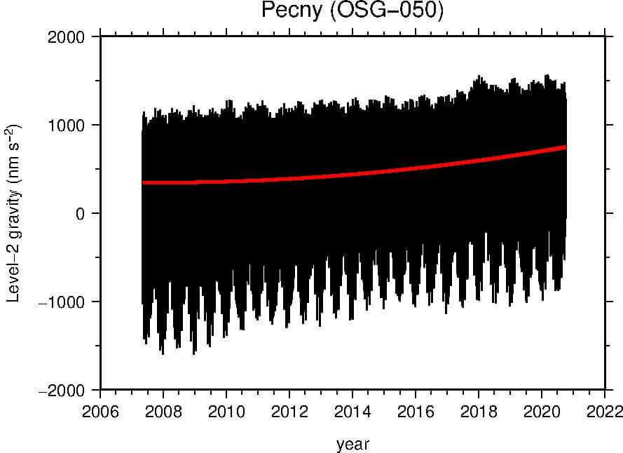
- Level-2: Gravity and local air pressure data corrected for instrumental perturbations, ready for tidal analysis,
- Level-3: Gravity residuals after particular geophysical corrections, including solid Earth tides, polar motion, tidal and non-tidal loading effects.
Level-2 data products are obtained from the Level-1 raw gravity and pressure data, with a correction of the major instrumental perturbations using classical remove/restore techniques.
Level-3 gravity residuals are computed from the Level-2 data, after subtracting major geophysical contributions:
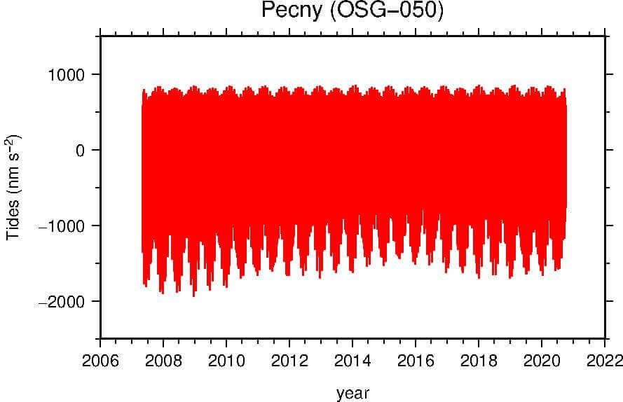
- Solid Earth tides and ocean tidal loading,
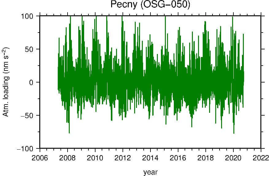
- Atmospheric loading,
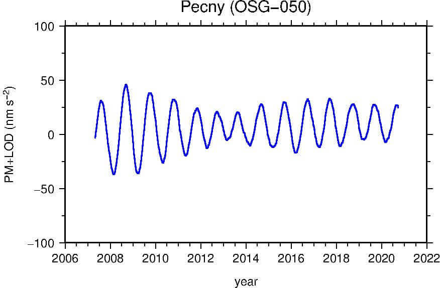
- Polar motion and length-of-day induced gravity changes,
- Instrumental drift.
Tidal gravity variations are computed differently for the long-period tides and for the diurnal and sub-diurnal bands: at high frequency, a local tidal model, adjusted by least-squares, is used. At low frequencies the tidal signal is modeled based on the tidal potential and gravimetric factors from theory for the solid Earth tides, adding ocean tidal loading based on FES2014b.
Atmospheric loading is computed using MERRA2 hourly surface pressure, and assuming an inverted barometer ocean response to pressure.
The polar motion and length-of-day induced gravity variations are modeled using the pole coordinates the IERS, and assuming a gravimetric factor of 1.16, with an ocean pole tide as a self-consistent equilibrium response.
Depending on the sensor, the instrumental drift is generally modeled as a polynomial or an exponential function. When available, we use time series from absolute gravimeters for the adjustment.
Gallery 2: IGETS Data products for station Pecný (Czech Republic) and modeled gravity corrections.
Contribution to the International Gravity Reference Frame
With precise and continuous recording of gravity changes, IGETS is supporting the establishment of the International Gravity Reference Frame (IGRF). The time series serve as reference function for the monitoring absolute gravimeters used within the IGRF, allowing to assess and guarantee their compatibility.
References:
Boy J.-P., Barriot J.-P., Förste C., Voigt C. and Wziontek H. (2020). Achievements of the First 4 Years of the International Geodynamics and Earth Tide Service (IGETS) 2015–2019. In: International Association of Geodesy Symposia. Springer, Berlin, Heidelberg. https://doi.org/10.1007/1345_2020_94.
Voigt, C., C. Förste, H. Wziontek, D. Crossley, B. Meurers, V. Pálinkáš, J. Hinderer, J.-P. Boy, J.-P. Barriot and H. P. Sun, 2016. Report on the Data Base of the International Geodynamics and Earth Tide Service (IGETS), GFZ German Research Centre for Geosciences, https://doi.org/10.2312/gfz.b103-16087
(last update 11.2023)

