 https://ggos.org/wp-content/uploads/2024/06/AdobeStock_343294851.jpeg 1336 1600 admin https://ggos.org/wp-content/uploads/2020/08/GGOS_Logo_Website_100dpi-1024x273.png admin2024-06-19 09:38:172024-06-19 09:40:04GGOS Topical Meeting on Atmosphere | Travel Award Application and Abstract Submission
 https://ggos.org/wp-content/uploads/2024/06/EN_TRFshort_squareBackground.png 1497 1497 admin https://ggos.org/wp-content/uploads/2020/08/GGOS_Logo_Website_100dpi-1024x273.png admin2024-06-19 07:00:082024-06-19 07:02:52New Video: Discover the Importance of Terrestrial Reference Frames
 https://ggos.org/wp-content/uploads/2023/11/AdobeStock_406024147_small-scaled.jpeg 1202 2560 admin https://ggos.org/wp-content/uploads/2020/08/GGOS_Logo_Website_100dpi-1024x273.png admin2024-05-17 10:11:472024-05-17 12:05:31GGOS Topical Meeting on the Atmosphere
 © Pexels https://ggos.org/wp-content/uploads/2020/02/photography-of-barrel-wave-1298684-Kopie-scaled.jpg 1440 2560 admin https://ggos.org/wp-content/uploads/2020/08/GGOS_Logo_Website_100dpi-1024x273.png admin2024-05-02 13:40:142024-05-02 13:43:44GGOS as basis for GeoRisk Commission (GRC) and the IUGG contributions to disaster risk reduction
 https://ggos.org/wp-content/uploads/2024/05/AdobeStock_170412838_edit-scaled.jpeg 2165 2560 admin https://ggos.org/wp-content/uploads/2020/08/GGOS_Logo_Website_100dpi-1024x273.png admin2024-05-02 12:57:202024-05-02 13:38:34Artificial Intelligence for Geodesy in support of Natural Disaster Management
 https://ggos.org/wp-content/uploads/2024/05/20240414_112323_edit-scaled.jpg 1227 2560 admin https://ggos.org/wp-content/uploads/2020/08/GGOS_Logo_Website_100dpi-1024x273.png admin2024-05-02 12:08:122024-05-02 12:49:04GGOS at EGU 2024
 https://ggos.org/wp-content/uploads/2024/04/GGOS_Iberatlanticpng.png 990 990 admin https://ggos.org/wp-content/uploads/2020/08/GGOS_Logo_Website_100dpi-1024x273.png admin2024-04-29 11:28:572024-04-29 11:48:02GGOS IberAtlantic:
 A new GGOS Affiliate
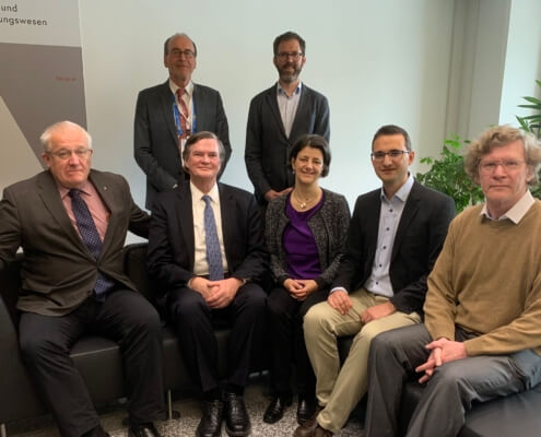 BEV https://ggos.org/wp-content/uploads/2024/04/IAG-Secretariat-MoU_signing-scaled.jpg 1621 2560 admin https://ggos.org/wp-content/uploads/2020/08/GGOS_Logo_Website_100dpi-1024x273.png admin2024-04-26 06:17:412024-04-29 11:59:06Establishment of an
 IAG Secretariat at BEV